
The Weekend Weather Forecast brings a mix of warm temperatures, sunshine, and a potential storm threat to wrap up the weekend.
Conditions will remain mild overnight, followed by a noticeable rise in temperatures through Saturday and Sunday.
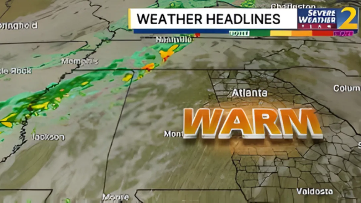
However, a shift in weather patterns late Sunday night could bring scattered storms before cooler air settles in early next week.
Overnight Conditions: Mild and Cloudy
As per the Weekend Weather Forecast, clouds will persist through the night as a weak front slowly moves across the region.
Despite the cloud cover, temperatures will remain relatively warm, with lows dipping only into the 50s by Saturday morning. This means heavy winter clothing won’t be necessary for early outdoor plans.
Saturday Outlook: Sunshine and Warm Temperatures
Saturday’s portion of the Weekend Weather Forecast highlights improving conditions. Clouds will gradually clear by the afternoon, allowing sunshine to dominate the skies. This increase in sunlight will push daytime highs close to or slightly above 80°F.
The combination of clear skies and warm air will make Saturday one of the most pleasant days of the weekend. Evening conditions will remain calm, with mostly clear skies and temperatures once again settling into the 50s overnight.
Early Sunday: Mild Start with Isolated Storm Chance
The Weekend Weather Forecast indicates that early Sunday morning could bring a slight chance of isolated storms, particularly near the Tennessee border. However, most areas will experience a calm and mild start to the day.
Temperatures will rise quickly after sunrise, setting the stage for another warm day ahead.
Sunday Daytime: Breezy and Near-Record Highs
Sunday stands out in the Weekend Weather Forecast as the warmest day. Strong southerly winds will develop as a cold front approaches, leading to breezy conditions with gusts ranging between 20 and 30 mph.
Afternoon highs are expected to climb into the mid to upper 80s, approaching near-record levels for this time of year. Despite the warmth and wind, daytime hours are expected to remain dry, making it suitable for outdoor activities—though conditions may feel slightly gusty.
Sunday Night: Storm Risk Increases
A significant change arrives Sunday night, as highlighted in the Weekend Weather Forecast. After 8 PM, showers and thunderstorms are expected to develop as the cold front moves through the area.
Some of these storms could become strong, with the potential for hail. However, the storms are expected to be scattered, meaning not everyone will experience severe weather. Residents should remain aware of changing conditions during the evening hours.
Early Monday: Storms Move Out
According to the Weekend Weather Forecast, any lingering storms should exit the region by around 2 AM Monday. This will bring an end to the storm threat, allowing calmer conditions to return.
While the overnight storms may not impact everyone, it is still important to stay alert, especially if you have late-night plans.
Early Week Cool Down: Return to Chilly Conditions
Following the passage of the cold front, the Weekend Weather Forecast shows a sharp drop in temperatures. Cooler air will move in by Monday morning, bringing daytime highs down into the 50s and nighttime lows into the 30s.
This shift marks a return to more typical early spring conditions after an unusually warm weekend.
The Weekend Weather Forecast presents a dynamic weather pattern, starting with mild and cloudy conditions, transitioning into warm and sunny days, and ending with a chance of strong storms Sunday night.
While most of the weekend will be enjoyable, it’s important to stay weather-aware as conditions change quickly late Sunday.
The arrival of cooler air early next week will provide a noticeable contrast, reminding us that spring weather can be unpredictable.